
This was the first full contingent riding day. All 21 cyclists did the Porcupine Rim Trail. The trail starts six miles down a dirt road and ends 14 miles later on a road that runs along the Colorado River. We trucked everyone to the trailhead, but all rode the road back into town.
The trail climbed 900 feet to the edge of a cliff, then descended 3000 feet. The descent was not easy, with loose rocks and high ledges on a former jeep trail. Or current one, I suppose. The last three miles were on the only bit of single track in Moab. This was also composed of loose rocks, ledges and other hazards, such as the cliff over the Colorado. No serious injuries reported - we were all careful.
Rob and Sparky acting up on way to trailhead.
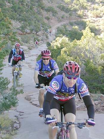
Here's Sparky, Ken and Doug heading up the initial ascent on the Rim Trail.
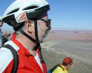
Alan, one Gu into a four-Gu ride, at 7000 feet.
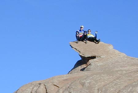
Master of the daring pose, Ken contemplates the edge of the Rim Trail.
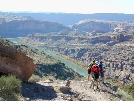
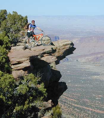
The trail descends to the Colorado. A scary bit of trail for many of us.
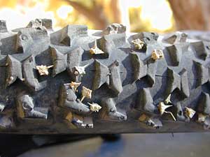
Curt made an errant pass through the Moab Town Park, looking for the beach, but finding thorns. Lots of thorns.
Virtual Moab Site
"Official" Moab Site
Hotel information:
41 West 100 North Moab Ut 84532 435-259-5191 |
Sponsors:Tom Till Photography, Moab, UTAustin Image Photography Natorps Garden Center Headsweats - Perspiration Technology RokTek - Fine Devices Wright Brothers Cyclery Flying Bytes Web Design Queen City Wheels Delta Airlines |
Site by Flying Bytes, Curt Austin